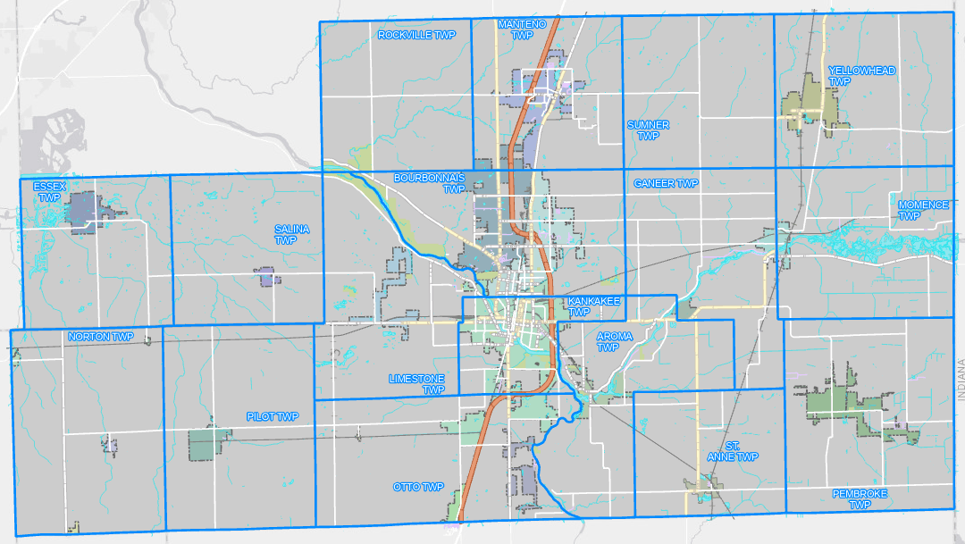
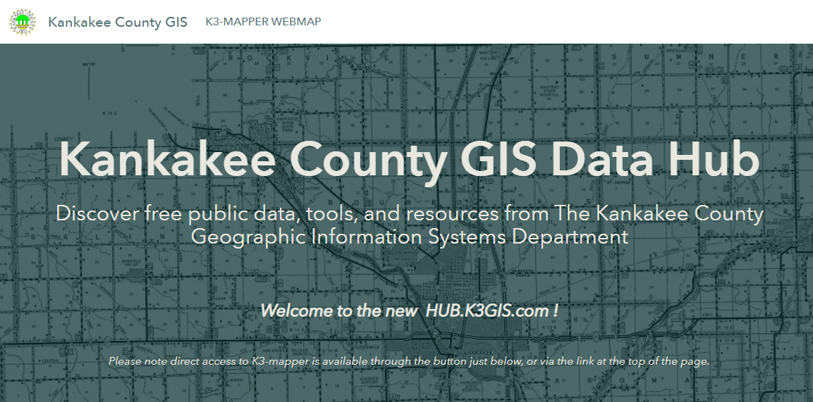
Kankakee County
Geographic Information Systems

Welcome to the Kankakee County Geographic Information System (GIS) website.  GIS is a system that creates, manages, analyzes, and maps all types of data, which includes geospatial data.

The County of Kankakee's GIS Department provides the general public with geographic data and web applications for geospatial study. Our geographers work to produce, curate, and supply partnering municipalities as well as other county services, state agencies, and federal departments with critical information about the spaces and places that make up Kankakee County.

Our partnering municipalities currently include the City of Kankakee, the Village of Bourbonnais, the Village of Manteno, and the Village of Bradley.

Disclaimer on Kankakee County GIS Services and Data

All the information provided on K3gis.com, K3-Mapper, and the K3 GIS Data Hub are provided as-is without express or implied warranties of any kind, or representation of its accuracy, timeliness, and completeness.  Please note that due to software and/or access to web maps and mapping services, GIS data, and information contained in the applications may be subject to change without notice.

ArcGIS Online Site

In addition to our ESRI Hub site, we have maps and data layers available for viewing on our ArcGIS Online page.  You can view different maps and individual mapping layers here.  To view our ArcGIS Online content click here.

Where did the 2020 U.S. Census indicate changes of population in Kankakee County?

Follow the link below to go to an interactive map that shows 2020 Census population counts compared to the 2010 Census.  Population is shown at the census block level for Kankakee County.

Find out where the results of the 2020 census showed changes in population within Kankakee County.

K3-Mapper Web Map

K3-Mapper is an ArcGIS web app that provides access to several GIS datasets in Kankakee County.  Some of the data included on K3-Mapper is:

  • Parcel and Cadastral Data
  • Taxing Districts
  • Election Districts
  • Unincorporated Kankakee County Zoning
  • Floodplain Data (FEMA)
  • Contour Data
Image of and link to the K3 Mapper Web Map zoomed out to the boundaries of Kankakee County.

Open Data Hub

The K3 GIS Open Data Hub is established on an ArcGIS Hub site.  The Open Data Hub provides public access to individual datasets.  Users are able to download available data or incorporate data as GIS web layers.  Datasets on the Hub include:

  • Parcel Data
  • Taxing District Boundaries
  • Unincorporated Kankakee County Zoning
  • Elected Officials Districts
  • Planimetric Data
Image of and link to K3 GIS Open Data Hub Home Page

Maps of Kankakee County

Download:
2022 Kankakee County Highway Map - Download here

Download:
Kankakee County Political Townships Map - Download here

Download:
2008 Kankakee County Overview Map - Download here


For additional maps in PDF format visit the maps page.


GIS Advisory Committee & 
2024 Meeting Information

For information about the Kankakee County GIS Advisory Committee and to view this year's meeting dates click here.

Previous Years' Agendas and Minutes for the GIS Advisory Committee

To view agendas and minutes for the Kankakee County GIS Advisory Committee from 2023 and earlier click here.

GIS Advisory Committee Documents

For Kankakee County ordinances and resolutions related to the GIS Department and the GIS Advisory Committee click here.

Kankakee County GIS Department

189 E. Court St.
Kankakee, IL 60901

© Copyright 2022 County of Kankakee. All Rights Reserved.

HTML Creator